
About All Tours ATV ToursHiking ToursFrom Antigua ToursPizza ToursFrom Guatemala City ToursPrivate ToursHorseback Tours Directions Hours & Fees
Find Tours 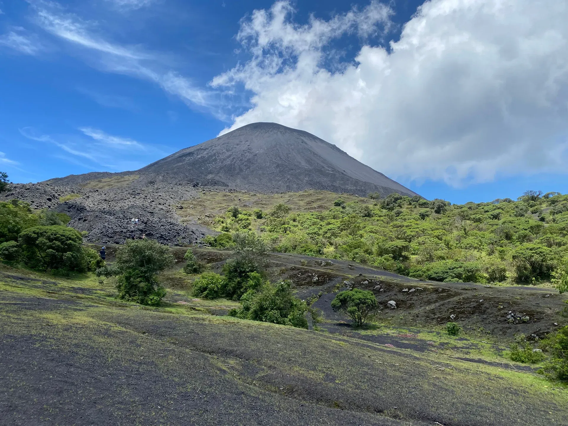
Rising 2,552 meters above sea level, Pacaya Volcano features a dramatic landscape of barren, moon-like basaltic lava fields and active fumaroles. Visitors can hike the 2.6-kilometer trail to roast marshmallows directly over geothermal hot spots while taking in panoramic views of nearby peaks.
Find Guided ToursPacaya Volcano is an active complex basaltic volcano located in the Escuintla Department, approximately 30 kilometers southwest of Guatemala City. Standing at an elevation of 2,552 meters with a prominence of 1,077 meters, it serves as the centerpiece of Pacaya National Park. As one of only three active volcanoes in the country, it is the most frequently climbed volcano in Guatemala. The site provides a rare, accessible environment where visitors can observe geothermal energy up close among dried lava fields, active fumaroles, and a smoking cinder cone.
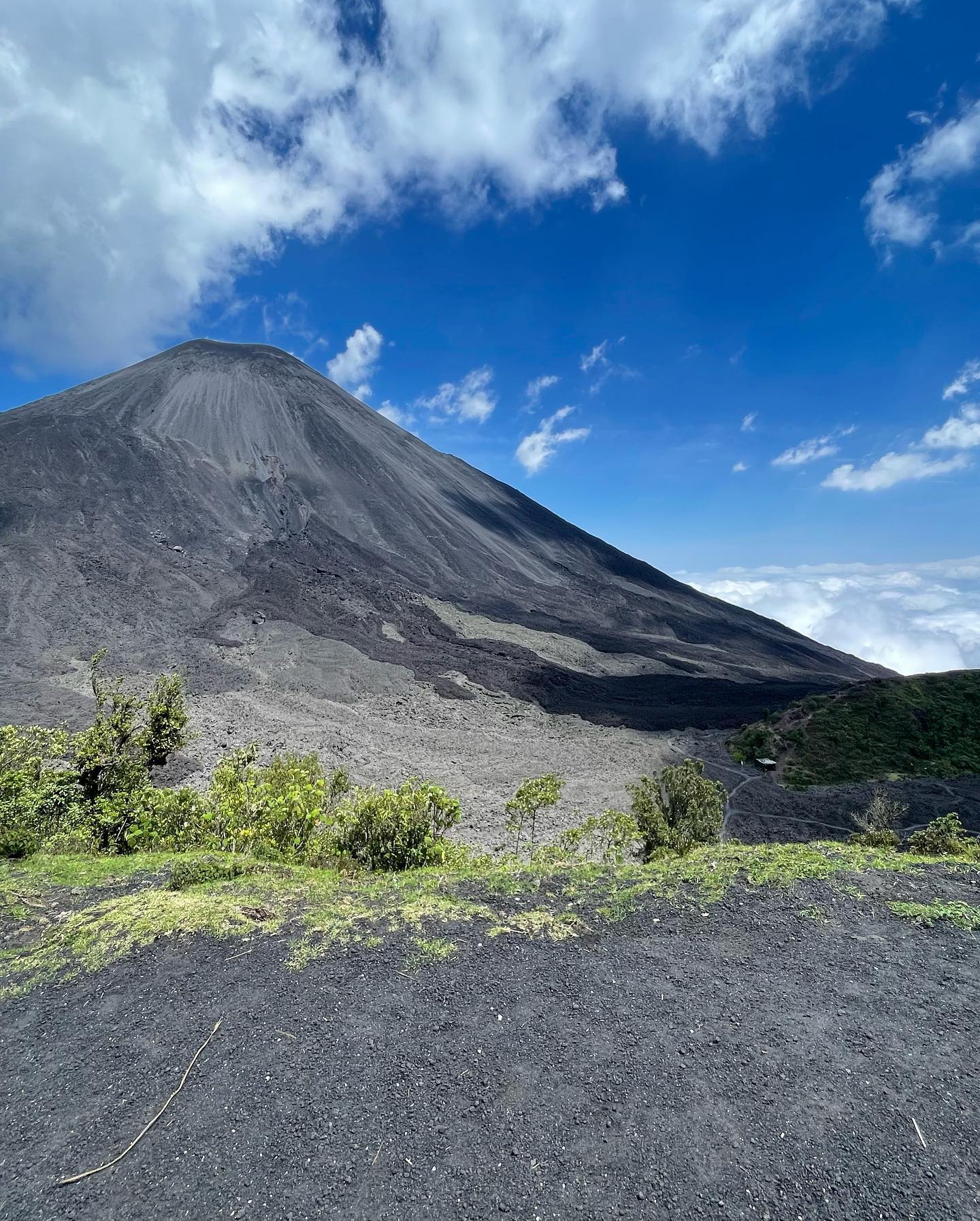
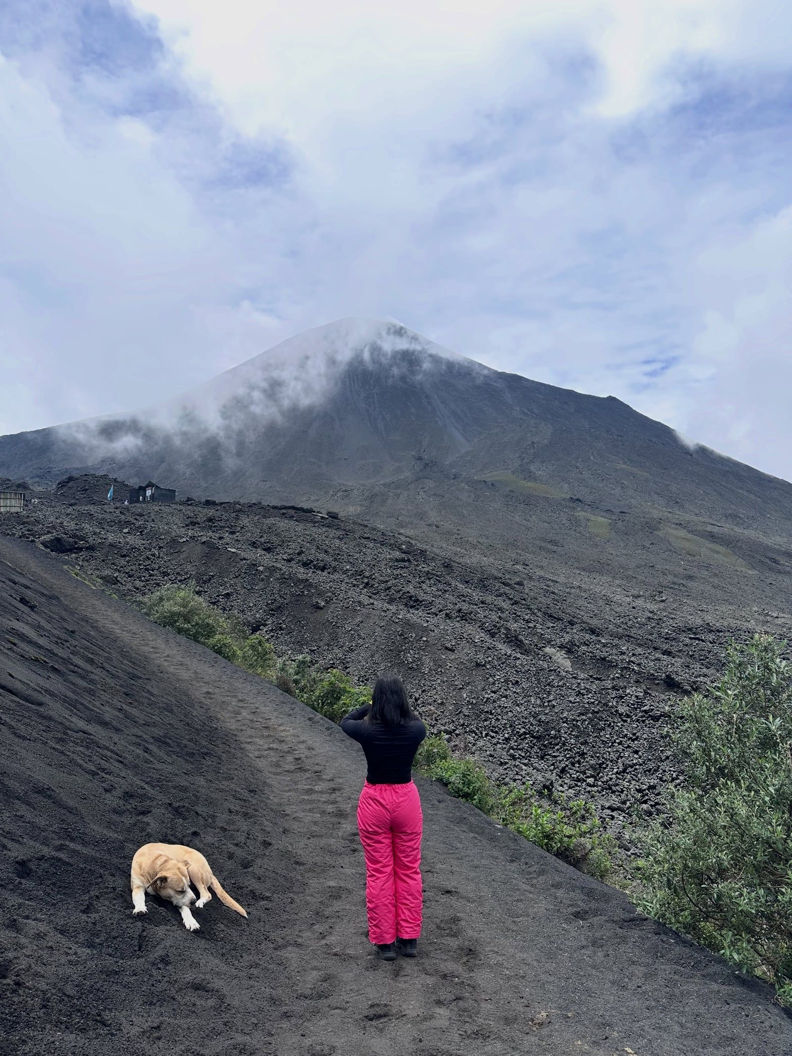
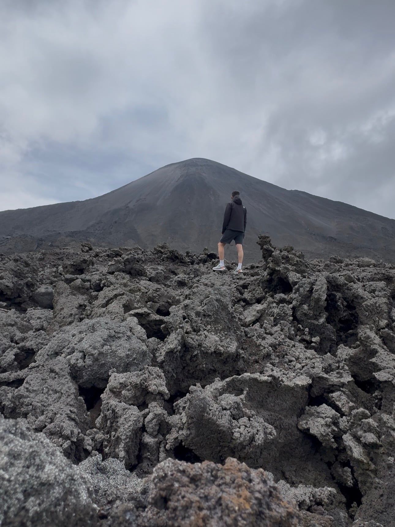
The volcano is constructed on the southern edge of a massive Pleistocene caldera that contains Lake Amatitlán. Pacaya is a post-caldera massif comprising 17 distinct craters. This complex structure includes the older Pacaya Viejo and Cerro Grande stratovolcanoes alongside the currently active Mackenney stratovolcano cone. The physical terrain shifts dramatically from lush forests and agricultural land at the base to barren, moon-like fields of black basaltic lava and jagged rock higher up.
As a highly active component of the Central American Volcanic Arc, Pacaya has shaped the surrounding landscape and local communities for thousands of years through frequent Strombolian and Plinian eruptions. The geological record indicates it first erupted approximately 23,000 years ago. Since the Spanish conquest, at least 23 eruptions have been recorded, with the earliest documented event occurring in 1565.
Following a dormant period of over 70 years, Pacaya began erupting vigorously in March 1961 and has remained almost continuously active. The volcano's power was notably demonstrated during a catastrophic eruption on May 27, 2010. This event deposited a 7-centimeter layer of ash across Guatemala City, forced the closure of the international airport, and prompted a national state of calamity.
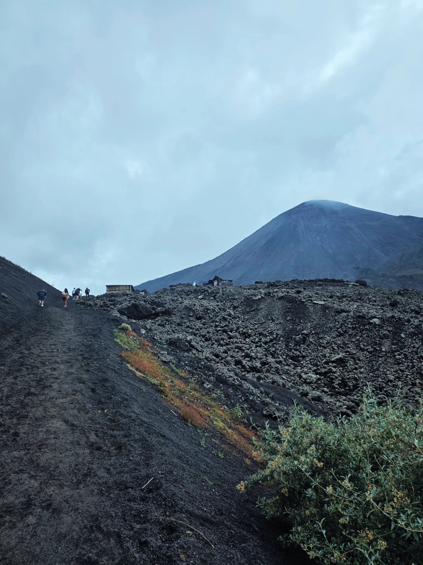
Discover the full history and cultural significance on our About page.
Guides equip hikers with wooden sticks and marshmallows to melt over steaming fumaroles. The intense natural heat radiating through the basaltic rock provides a rapid roasting method. This activity allows visitors to interact directly with the active geothermal energy present across the 2.6-kilometer trail.
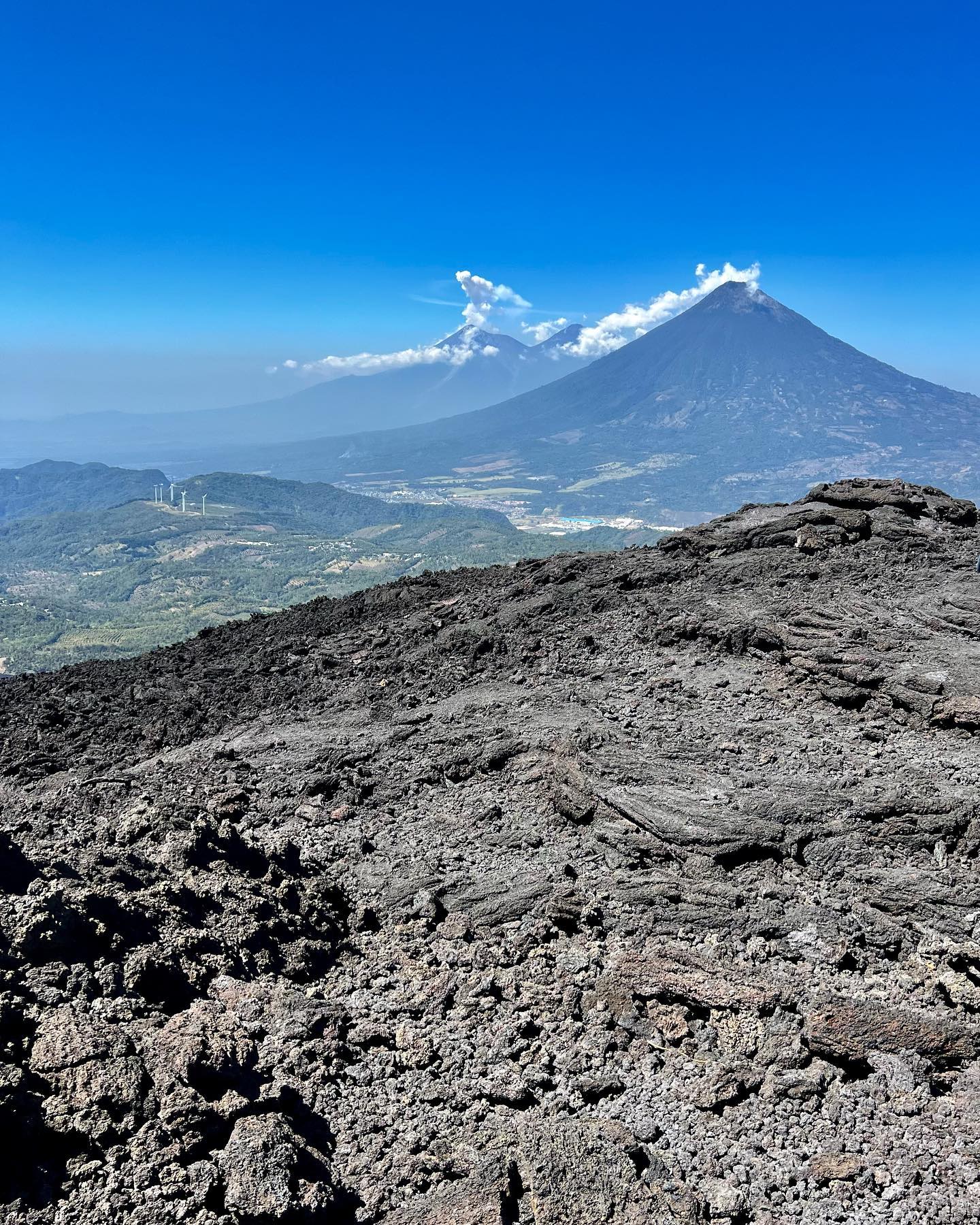
Reaching the Cerro Chino overlook on the northwest flank rewards hikers with panoramic lines of sight. On clear days, this vantage point reveals the active 2,552-meter McKenney cone alongside the towering peaks of neighboring Agua, Fuego, and Acatenango volcanoes stretching across the valley.
Local chefs utilize the extreme temperatures of natural heat vents to bake fresh pizza directly on the hot lava rocks. Hikers must arrange this specialty meal in advance with their tour company to secure the ingredients for this highly specific culinary setup on the basaltic slopes.
Afternoon departures typically leave Antigua around 2:00 PM, timing the ascent to watch the sun drop behind the Guatemalan highlands. After dusk, hikers navigate the steep 455-meter descent over loose volcanic ash and gravel entirely in the dark, relying heavily on headlamps and rented walking sticks.
Hand-picked tours with free cancellation and verified reviews
 Free Cancellation 6h
  Free Cancellation 8h
  Free Cancellation
  Free Cancellation 5h
  Free Cancellation 8h
  Free Cancellation 10h
  Free Cancellation 6h
  Free Cancellation 9h
 The ideal times to visit Pacaya Volcano are during the dry season from December to April and the mid-year window from June to August. These periods provide stable weather, safer trail conditions, and clear visibility of the active McKenney cone.
March and April offer excellent dry-season conditions with clear views. However, May introduces the heavy rainy season, bringing torrential downpours and dangerous, slippery trails.
This mid-year window provides stable weather and safer trail conditions. Hikers can expect clear visibility of the volcanic landscape, though this also represents a period of peak crowds.
September and October are the worst months due to heavy cloud cover and zero visibility. Severe thunderstorms make the steep 455-meter ascent highly slippery and hazardous for hikers.
Falling entirely within the dry season, these months offer optimal hiking conditions. The stable weather ensures clear panoramic vistas of the surrounding volcanoes, making it a highly popular time.
Trail access primarily aligns with two daily hiking schedules. Morning departures typically conclude around 1:00 PM, while afternoon sunset tours generally depart from Antigua at 2:00 PM and return by 8:00 PM. Overnight camping access is also permitted.
| Category | Price |
|---|---|
| Standard Entrance Fee (per person) | Q100 (approx. $12.81 - $15 USD) |
| Alternative Entry Fee (varies by tour package or registration point) | Q50 (approx. $6 USD) |
Entrance fees must be paid in cash at the visitor center using Guatemalan Quetzales, as credit cards are not accepted. All visitors are legally required to hire an accredited local guide to enter the national park.
For complete schedules and ticket prices, visit our Hours & Fees page.
Pacaya Volcano is located in the Escuintla Department, approximately 30 kilometers southwest of Guatemala City and 38 kilometers from Antigua. Visitors typically reach the national park trailheads via organized shuttles, private vans, or public buses departing from Antigua.
📍 San Vicente Pacaya and San Francisco de Sales, Escuintla Department, Guatemala
Most travelers choose organized group tours departing directly from Antigua to reach the national park. These packages include round-trip transportation in shared minivans and often provide the legally required local guide. The 38-kilometer drive takes approximately one and a half hours each way. Hikes typically operate in two main daily slots, with morning departures and afternoon sunset tours.
Travelers wanting to customize their departure time and avoid large afternoon crowds can book a private tour from Antigua. These packages utilize private vehicles for the 38-kilometer journey, which takes about one and a half hours. Booking a private van allows you to hike at your own comfortable pace with a dedicated guide. Prices for this customized transportation and touring option are higher than shared shuttles.
Budget travelers can navigate the 38-kilometer route from Antigua using local public transportation. Passengers first take a bus to Escuintla or Palin. From those transit points, they must transfer to a second bus heading toward Amatitlán, which passes directly by the national park entrance. This transit method requires more navigation and extends the travel time significantly compared to direct shuttles.
For detailed transport options and routes, visit our Directions page.
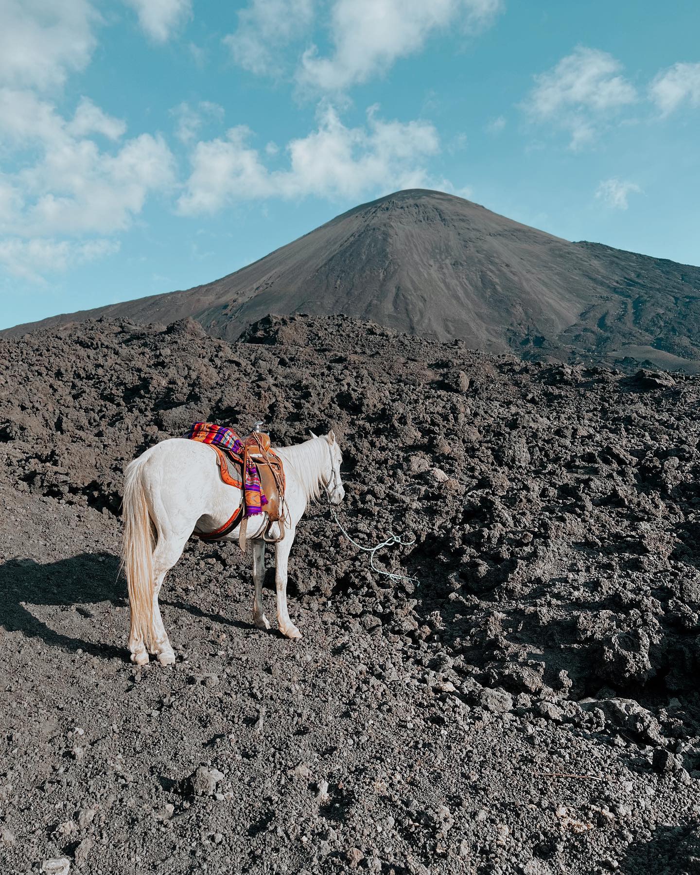
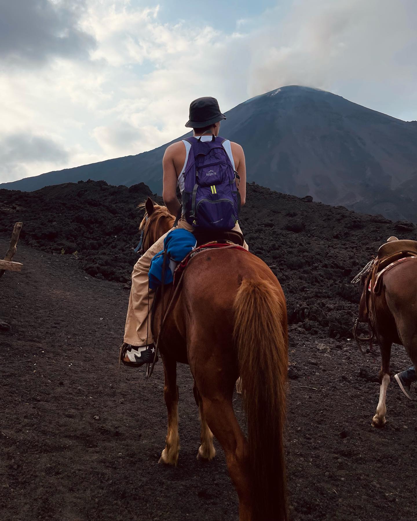
The national park requires a Q100 entrance fee payable only in cash. You will also need smaller bills to rent walking sticks for Q10 to Q20 or hire a horse for 150 to 300 GTQ. Credit cards are not accepted at the visitor center. Local vendors rarely have change.
Local children offer wooden walking sticks at the trailhead for Q10 to Q20. Renting one provides essential stability for the steep 455-meter elevation gain. The descent involves navigating loose volcanic ash and gravel. This small purchase heavily supports the local community while preventing slip-and-fall injuries.
Sturdy, closed-toe hiking boots are mandatory for navigating the sharp basaltic lava rocks. The rugged terrain will easily destroy thin shoe soles. You must also wear long pants to protect your ankles from the intense geothermal heat and jagged rocks. Light sneakers and sandals are completely inadequate here.
Afternoon tours departing Antigua around 2:00 PM return well after dark. You must pack a reliable headlamp or flashlight for the steep descent. The exposed upper slopes become cold and windy quickly after the sun sets. Bring a warm sweater and a windproof jacket to handle sudden temperature drops.
Volcanic dust and ash kicked up by other hikers can cause respiratory irritation. Breathing becomes more difficult at the 2,552-meter elevation. Pack a scarf or face gaiter to cover your mouth and nose. This is especially important when descending the steep trails behind a large tour group.
Eating a pizza cooked directly on the hot lava rocks by a local chef is a popular activity. This specialty meal requires advance coordination with your tour company. Otherwise, bring at least two liters of water per person and high-energy snacks. Food stalls are extremely limited along the 2.6-kilometer trail.
Located 3 kilometers north of the active vent, this crater lake provides a calm contrast to the harsh lava fields. Visitors can observe the distinct volcanic geography of the Amatitlán region away from the main crowds.
These thermal pools utilize natural heat from Pacaya's underground volcanic activity. Hikers can soothe sore muscles with hydrotherapy and a relaxing soak after navigating the steep 455-meter elevation gain of the main trail.
Serving as a primary gateway to the national park, this municipality in the Escuintla department allows travelers to observe daily Guatemalan life. Spending time here directly supports local community initiatives and the regional economy.
Read what travelers share about their experience visiting Pacaya Volcano — from practical tips to personal highlights.
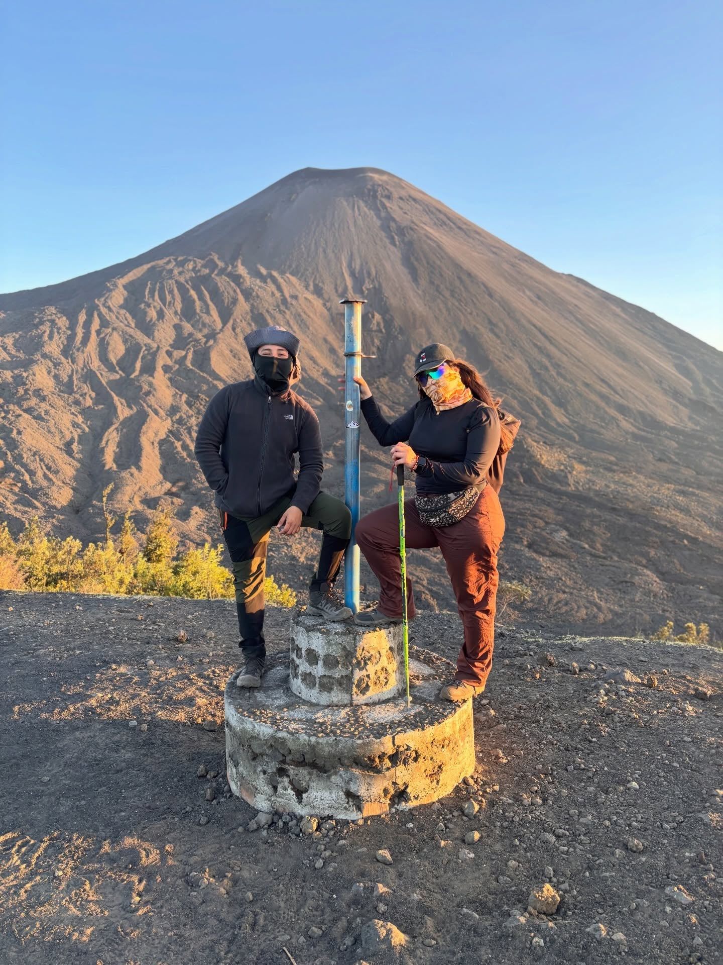
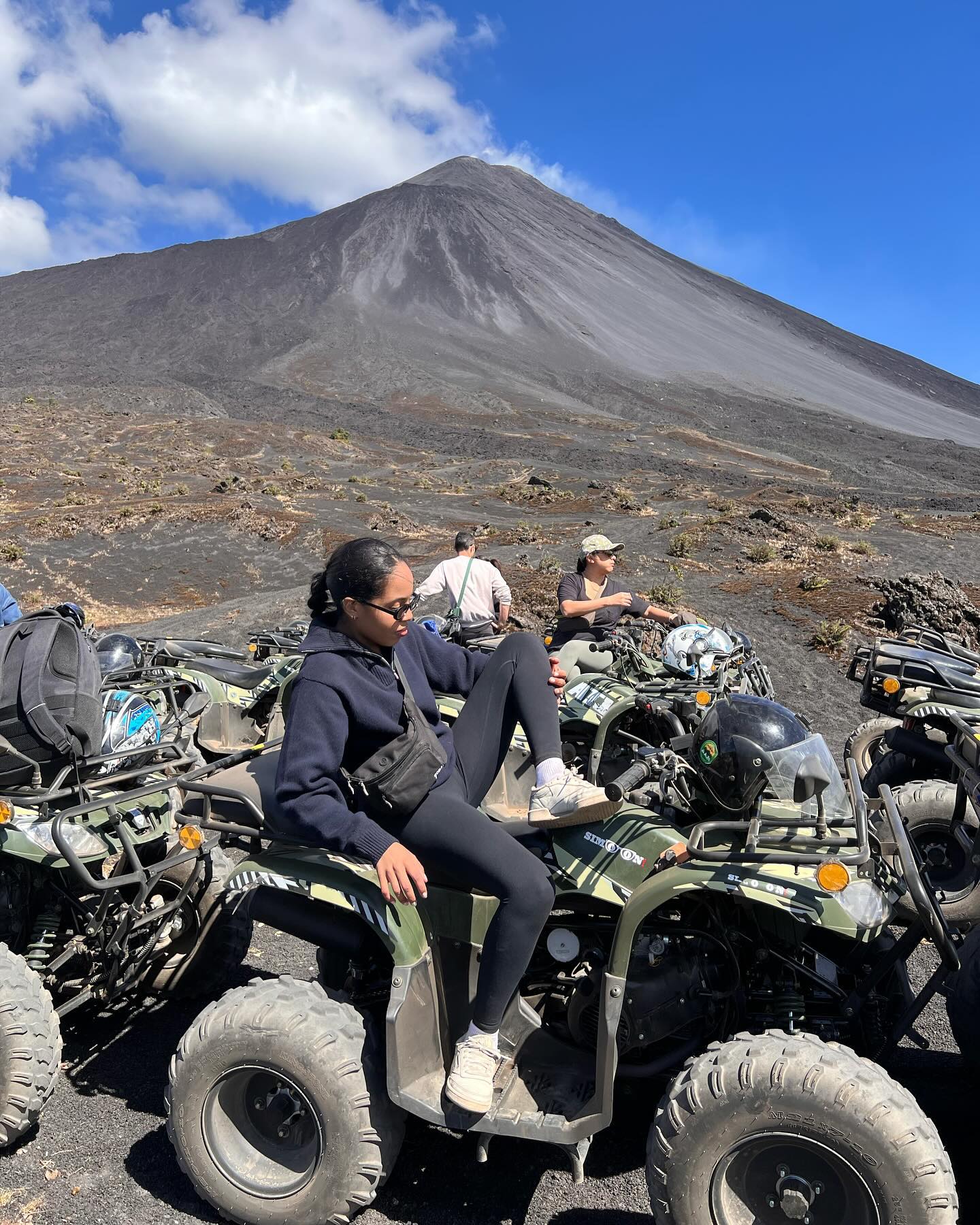
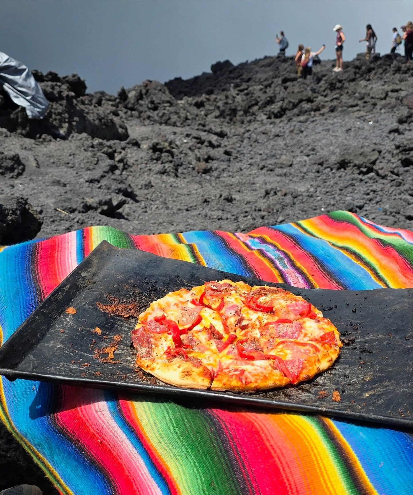
The national park entrance fee is Q100 (approximately $13 USD) per person, payable only in cash at the visitor center. If you book a shuttle or private tour from Antigua, expect to pay an additional 150Q to 450Q for transportation and guide services.
The actual ascent takes 1.5 to 2 hours to cover the 2.6-kilometer trail and its 455-meter elevation gain. A full round-trip excursion from Antigua takes 6 to 8 hours, including the 1.5-hour drive each way.
Most travelers take an organized group or private shuttle from Antigua, which covers the 38-kilometer distance in about 90 minutes. Budget travelers can take public buses to Escuintla or Palin and transfer to an Amatitlán-bound bus, which takes roughly 2.5 hours and costs 10Q to 20Q.
You must wear sturdy, closed-toe hiking boots to navigate the sharp basaltic rocks, along with long pants to protect your ankles. Pack a warm sweater, a windproof jacket, 2 liters of water per person, and a headlamp if you are taking an afternoon sunset tour.
Children aged four and older are permitted on the trail when accompanied by an adult. The hike is rated as moderate, but visitors who become tired on the steep inclines can rent a horse at the trailhead for 150 to 300 GTQ.
Yes, Guatemalan law requires all visitors to hire a certified local guide to access the national park trails. You can arrange a guide by booking a tour in advance or by hiring one directly at the visitor centers in San Francisco de Sales or San Vicente Pacaya.
No, hiking directly to the active summit of the McKenney crater is strictly prohibited due to extreme safety hazards. Guides will stop groups at designated overlooks on the dried lava fields, where you can safely feel the geothermal heat and roast marshmallows.
The dry season from December to April, along with the mid-year window from June to August, provides the most stable weather and clearest visibility. Avoid the heavy rainy season from May to October, when severe thunderstorms make the steep trails dangerous and cloud cover reduces visibility.
Browse verified tours with free cancellation and instant confirmation.
Find Tours