
About All Tours ATV ToursHiking ToursFrom Antigua ToursPizza ToursFrom Guatemala City ToursPrivate ToursHorseback Tours Directions Hours & Fees
Find Tours 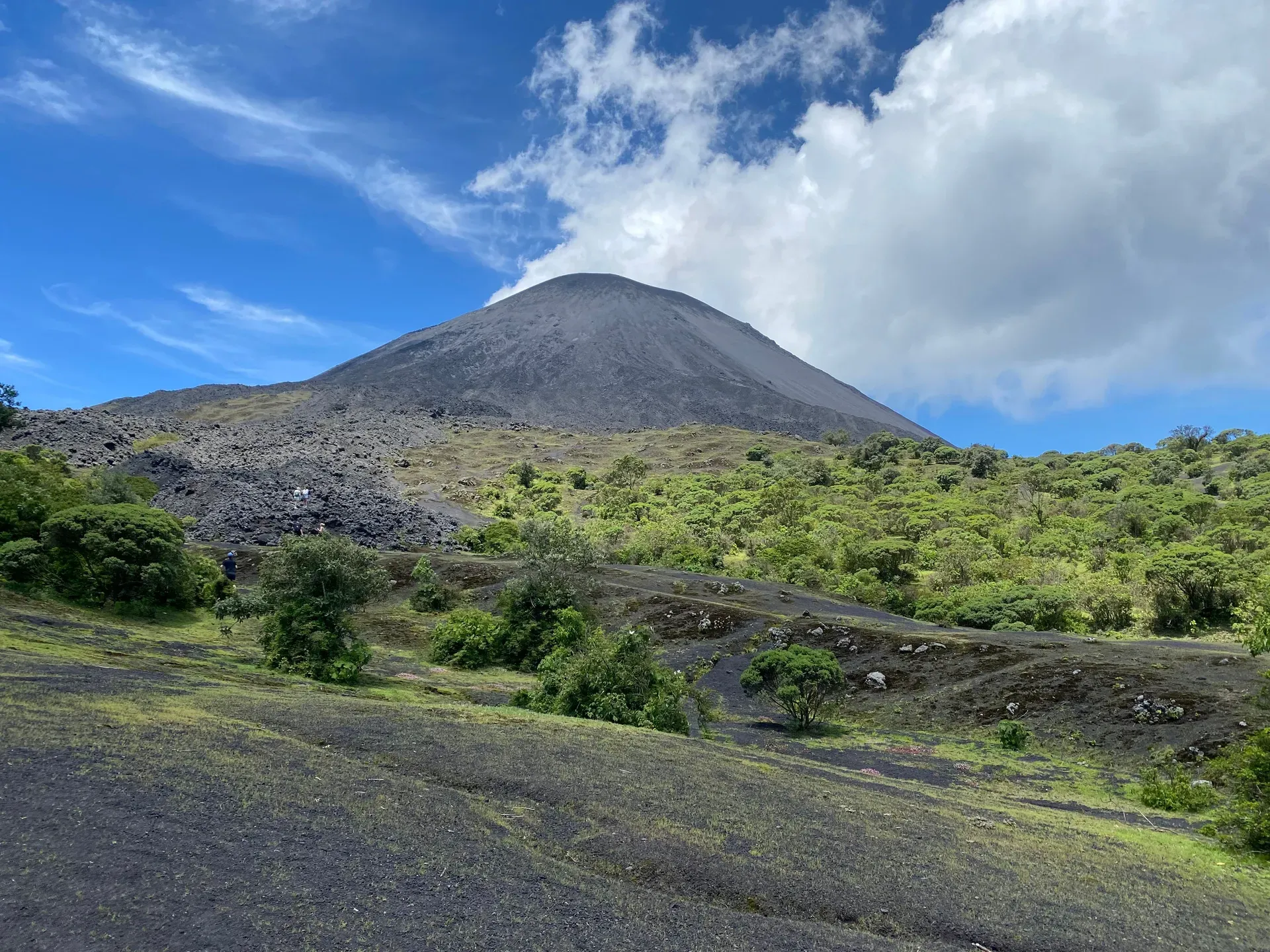
Standing 2,552 meters tall in Guatemala's Escuintla Department, Pacaya Volcano vents steam and sulfur from its active basaltic cone. Frequent Strombolian eruptions shape its jagged black lava fields, making it the country's most frequently climbed peak.
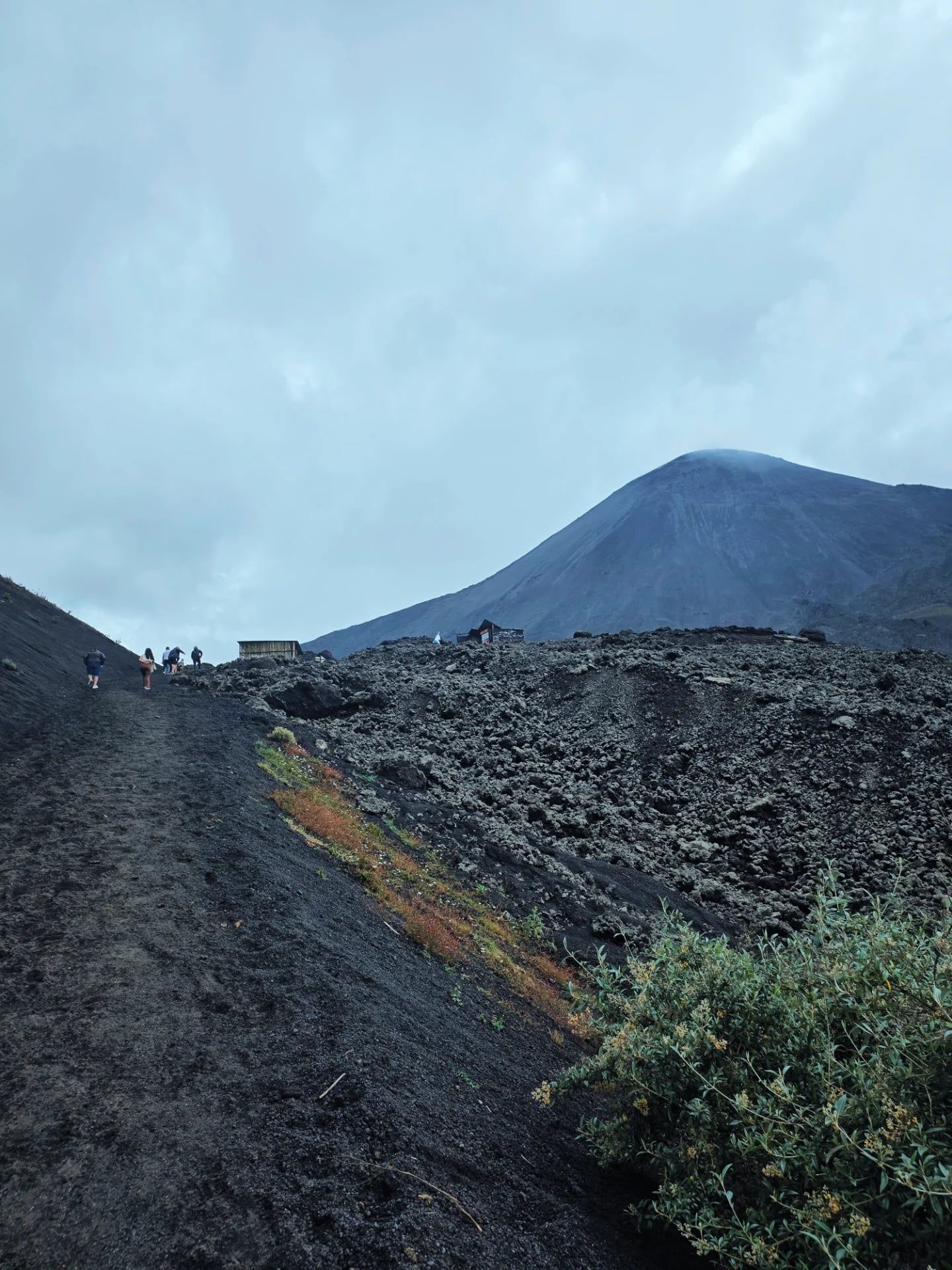
Black basaltic rock crunches underfoot as intense geothermal heat radiates through the soles of your boots. Pacaya Volcano stands 2,552 meters above sea level in the Escuintla Department, roughly 30 kilometers southwest of Guatemala City and a 1.5-hour drive from Antigua. The active complex features a smoking cinder cone, 17 distinct craters, and expansive fields of dried lava. Hikers navigate a 2.6-kilometer trail gaining 455 meters in elevation to reach designated overlooks near the active McKenney crater. The air smells of sulfur, and deep rumbles occasionally echo from the central vent.
Geological forces constantly reshape this environment. Strombolian and Plinian eruptions regularly alter the topography, creating sharp, jagged terrain that requires sturdy, closed-toe boots to traverse safely. Visitors walk across the remnants of past lava flows, stopping at active fumaroles where the earth vents steam directly into the atmosphere. The heat at these specific fissures reaches temperatures high enough to melt marshmallows in seconds. Casual photography captures the stark landscape, but operating drones requires a prior permit from CONAP, Guatemala's protected-areas authority.
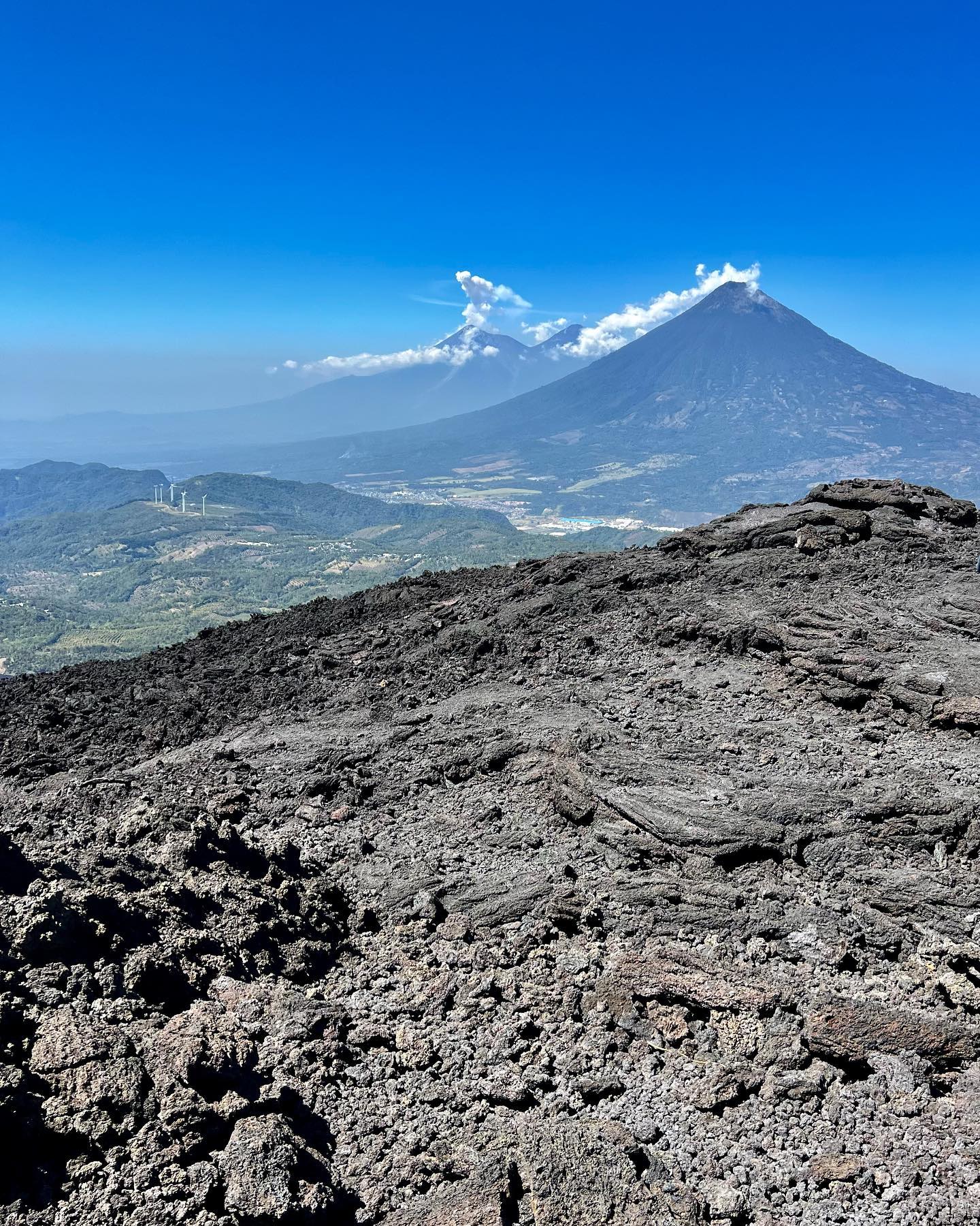
Heavy rain from May to October turns the loose volcanic ash into a dangerous, slippery slurry. Thunderstorms frequently obscure the summit in dense clouds, dropping visibility to zero. Clear days between December and April reveal panoramic views of the neighboring Agua, Fuego, and Acatenango peaks from the Cerro Chino viewpoint. Accessing the national park requires a Q100 cash fee and a mandatory certified local guide to ensure hikers avoid restricted, unstable zones near the primary eruption center.
Magma breached the surface 23,000 years ago, forming the initial structure of the Pacaya complex on the southern rim of a massive Pleistocene caldera. The resulting post-caldera massif eventually grew to include the Pacaya Viejo and Cerro Grande stratovolcanoes. A catastrophic structural failure thousands of years ago caused Pacaya Viejo to collapse, triggering a massive debris avalanche that traveled 25 kilometers down the Pacific coastal plain. The currently active McKenney cone began growing inside the resulting horseshoe-shaped crater, steadily building its mass over millennia.
Spanish colonizers recorded the first historical eruption in 1565. At least 23 major eruptive events occurred over the next four centuries, altering the local geography and soil composition. The volcano fell silent in the late 19th century, entering a dormant phase that lasted over 70 years. This quiet period ended abruptly in March 1961. Vigorous Strombolian activity resumed, and the McKenney cone has remained almost continuously active ever since. Lava flows from this modern eruptive phase created the vast black fields that currently dominate the base of the mountain.
A violent Plinian eruption on May 27, 2010, forced the immediate evacuation of surrounding communities. The blast ejected a massive column of debris into the atmosphere, blanketing Guatemala City in a 7-centimeter layer of heavy volcanic ash. The weight of the debris collapsed roofs, closed the international airport, and prompted the government to declare a state of calamity. Recovery efforts took months, and the eruption permanently altered the hiking routes. Today, local authorities and CONAP closely monitor seismic activity, restricting access to the upper slopes whenever tremor patterns indicate an elevated risk of sudden explosive events. Visitors must check current alert levels before planning an ascent.
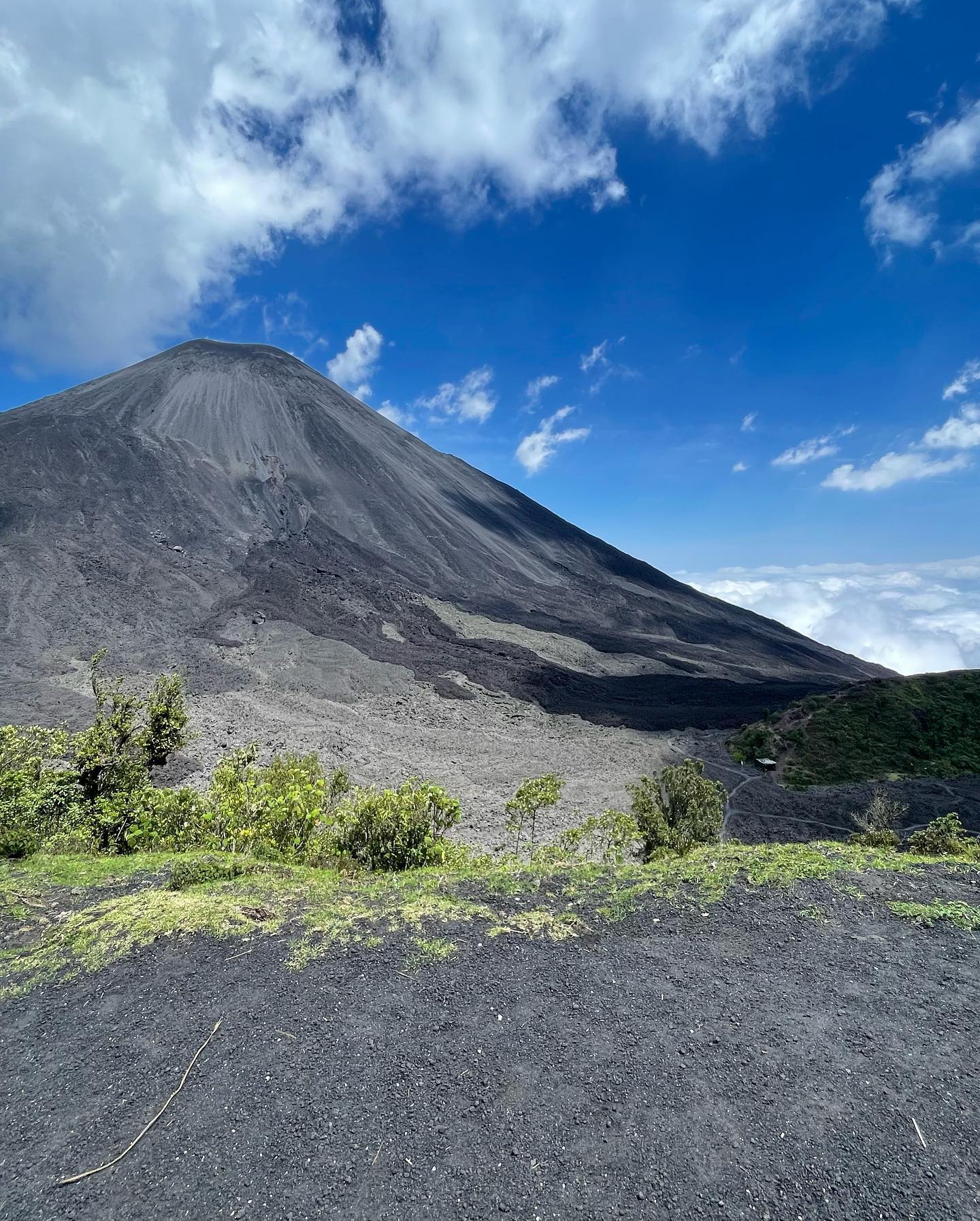
Seventeen distinct craters dot the Pacaya complex, though the McKenney stratovolcano cone dominates the current landscape. This active vent rises sharply above a barren expanse of black basaltic lava fields. The terrain transitions abruptly from dense, humid forests at the base to a stark, moon-like environment devoid of vegetation. Jagged, solidified lava rock covers the upper slopes, forming sharp ridges and deep fissures that radiate intense geothermal heat from the magma chamber below. The lack of tree cover exposes hikers to harsh sun during the day and biting winds after dusk.
Active fumaroles vent sulfurous gases and steam through cracks in the hardened basalt. These geothermal hot spots maintain surface temperatures hot enough to cook food directly on the rock. The loose volcanic soil consists of coarse ash, lapilli, and scree, creating a steep 455-meter gradient that shifts underfoot. Hikers often rent wooden walking sticks for Q10 to Q20 from local children at the trailhead to maintain balance on the unstable 2.6-kilometer ascent. Quadriplegic visitors have successfully completed this rugged climb, but only with dedicated personal support systems and specialized off-road wheelchairs.
The northwest flank features Cerro Chino, a parasitic cone that provides a natural viewing platform. From this vantage point, the sheer scale of the Pleistocene caldera containing Lake Amatitlán becomes visible to the north. The structural remains of the older Pacaya Viejo and Cerro Grande stratovolcanoes flank the active center, illustrating the violent geological history of the region. Sudden shifts in wind direction can blow toxic volcanic dust and ash across these exposed ridges, requiring hikers to carry face gaiters to protect their lungs.
Geothermal energy dictates the rhythm of life in the Escuintla Department. The municipalities of San Vicente Pacaya and San Francisco de Sales rely directly on the volcano for their economic survival. Hundreds of families earn their income by guiding hikes, renting horses for 150 to 300 GTQ, and selling walking sticks to the thousands of tourists who arrive annually. This daily interaction with the active peak fosters a deep respect for the mountain's volatile nature. Local community guidelines strongly encourage utilizing these services to keep the regional economy stable.
Agricultural communities harness the mineral-dense volcanic soil on the lower slopes to cultivate coffee, corn, and beans. The constant threat of eruptions forces residents to maintain strict emergency protocols, yet the fertile land keeps them anchored to the region. Nearby natural features exist solely because of Pacaya's underground magma chamber. The thermal pools at Santa Teresita draw visitors seeking hydrotherapy, while the tranquil waters of Laguna de Calderas offer a stark contrast to the violent geological activity just three kilometers south.
Modern infrastructure also taps into this geological power. The Eólico Viento Blanco Park operates massive wind turbines near San Vicente Pacaya, utilizing the strong thermal winds generated by the contrast between the hot volcanic highlands and the cooler coastal plains. The mountain functions as both a constant hazard and the primary provider for the surrounding population. Residents balance the daily reality of toxic ash and seismic tremors with the agricultural and tourism benefits provided by the active cone.
Local chefs occasionally bake fresh pizzas directly on the hot basaltic rocks using natural geothermal heat vents.
A structural collapse of Pacaya Viejo thousands of years ago sent a massive debris avalanche 25 kilometers down the coastal plain.
The May 2010 eruption dumped so much ash on Guatemala City that the international airport ceased operations for days.
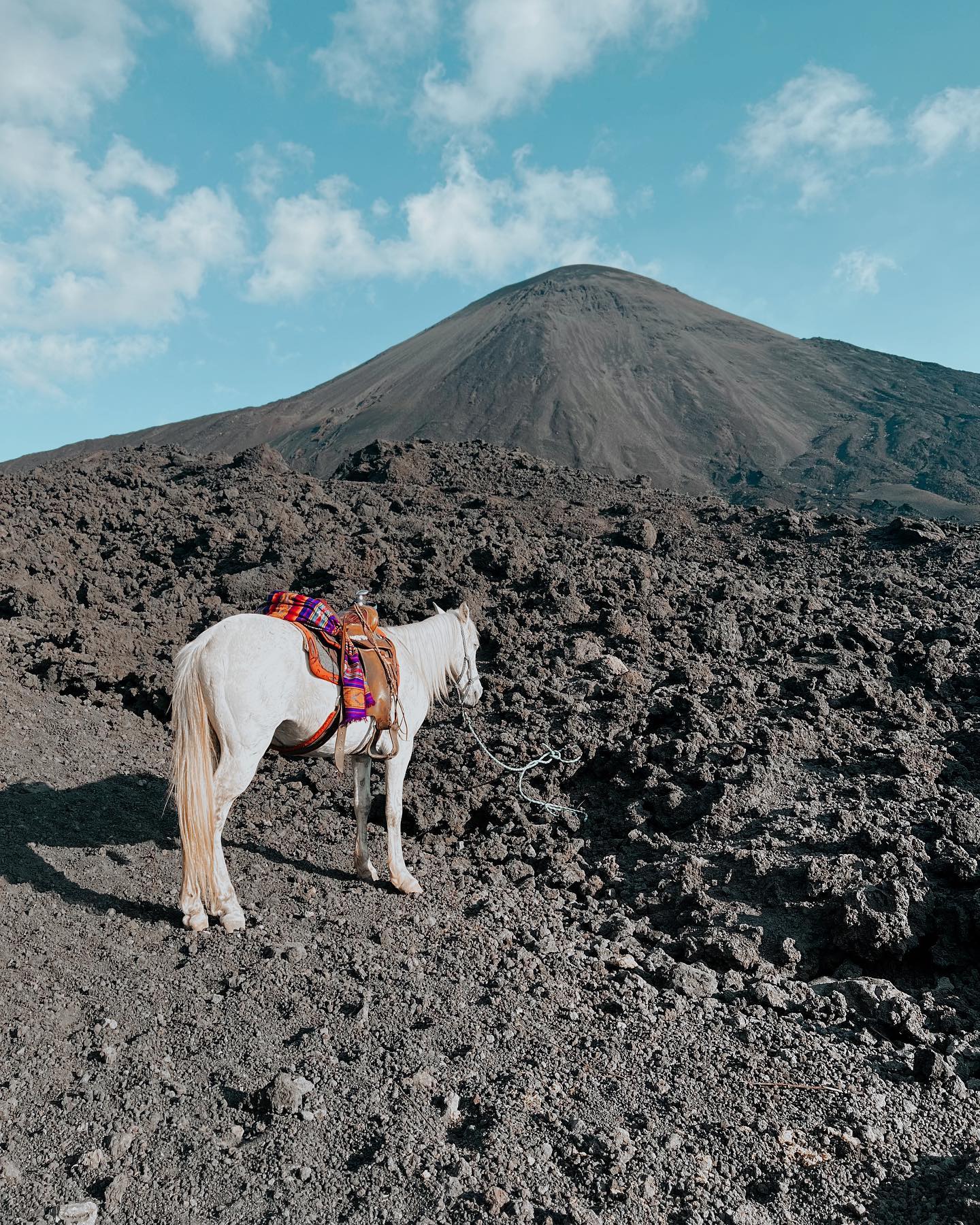
Local residents rent horses at the trailhead to carry tired hikers up the steep 455-meter elevation gain.
The surface temperature at specific fumaroles is hot enough to instantly roast a marshmallow on a wooden stick.
The entire volcanic complex sits on the southern edge of a massive Pleistocene caldera that holds Lake Amatitlán.
Afternoon tours time their arrival for sunset, forcing hikers to navigate the sharp lava fields in the dark using headlamps.
The standard entrance fee is Q100 (approximately $13 USD) per person. You must pay this fee in cash at the visitor center, as credit cards are not accepted.
No, hiking directly to the active summit of the McKenney crater is strictly prohibited due to extreme safety hazards. Guides legally enforce this regulation and stop groups at safe, designated overlooks.
The actual ascent takes 1.5 to 2 hours, covering 2.6 kilometers one-way. The entire round-trip excursion from Antigua, including driving time, typically lasts between 6 and 8 hours.
Local community members rent horses at the park entrance for 150 to 300 GTQ. This provides a reliable alternative for children, elderly visitors, or hikers struggling with the steep incline.
Seeing molten lava depends entirely on current volcanic activity and is never guaranteed. Visitors will always see hot dried lava fields and steaming geothermal vents regardless of eruption status.
Sturdy, closed-toe hiking boots are mandatory to navigate the sharp, slippery basaltic rocks. You should also wear long pants to protect your ankles and bring a windproof jacket for the cold summit.
Yes, hiring a certified local guide is legally mandatory to access the trails in Pacaya National Park. You can hire one directly at the visitor center or book an organized tour from Antigua.
The volcano reaches an elevation of 2,552 meters (8,373 feet) above sea level. The hiking trail itself features an elevation gain of approximately 455 meters.
Guides lead visitors to active geothermal vents where the heat radiating from the earth is intense enough to melt marshmallows. They provide wooden sticks and marshmallows for this specific activity.
Pacaya has erupted frequently since 1961, presenting an inherent risk to all visitors. Local authorities constantly monitor seismic activity and restrict trail access if danger levels increase.
Browse verified tours with free cancellation and instant confirmation.
Find Tours